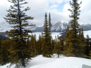
– Beautiful scenery on Tyrwhitt trail –
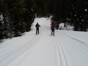
Today was one of the best runs I’ve had down Tyrwhitt and Elk pass this winter. I took a side-trip to Blueberry Hill, also on fabulous conditions. Temperature at Boulton Bridge trailhead was -1°C at 1:30 pm but the snow was cold enough for Toko blue(-2/-6).
I encountered a few minor patches of debris in the usual locations; the first 500 metres of Tyrwhitt, south of Lookout junction, has cones on the trail but I had clear tracks. The first 200 metres of Fox creek had a few pine needles, and Boulton creek had some bad patches but I didn’t have anything caught in my wax at the end of the day. I must admit there is more debris on the trails in the south end than in the north end although it’s nowhere near the problem that it was in the past month.
I’m still watching the GPS and found a few significant discrepancies. My readings today agree fairly closely with Ray Perrott’s, so I’d feel quite confident in these numbers. Blueberry Hill is shown on the PLPP brochure and trail markers as 3.2K but I got 3.56K ascending and 3.48K descending. Ray says he gets 3.5K.
Tyrwhitt is shown on the brochure as 4.5K, but the GPS said 4.83K. Ray also gets 4.8. Once again I got 3.4K for Whiskey Jack from the Moraine junction, and 3.9K from the trailhead at Boulton Bridge. I think this was the first time in my life that I started skiing from Boulton Bridge.
There’s a section of Elk Pass between Patterson and Hydroline that’s shown as 2.6K, but my GPS shows it as 2.1K. I think the map-makers mistakenly added in the .5K leg between Hydroline and Fox creek. It’s correct on the trail marker.


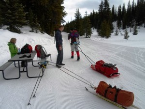
We skied Elk Pass this afternoon too – first time for the kids and I. It was excellent. Just thought I’d mention that about 4:30 when we were packing up from our picnic at Boulton Creek, it started snowing. Not sure how much it is going to snow, but it was coming down pretty hard.
Maybe we should redo the PLPP map with correct distances?
That’s my intention. I hope to get corroborating evidence from other skiers on the distances. When it’s complete, I’ll post a new map and give a copy to Kananaskis Country. Anyone with a GPS is welcome to submit their information. -Bob