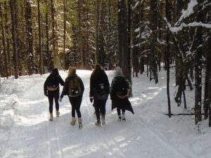
-Gordon, Ken, Rory, and Larry at the top of the Screamer-
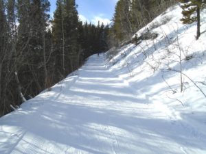
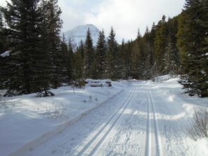
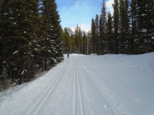
These trails are so enjoyable when the snow is plentiful, cold, and groomed, as it is now. My biggest thrill of the day was descending the Screamer on these near-perfect conditions.
The Screamer is the first kilometre on Skogan Pass above the Ruthie’s junction. It’s a steep, twisting downhill but it flows so nicely. With the good snow, I flew down but never once felt out of control.
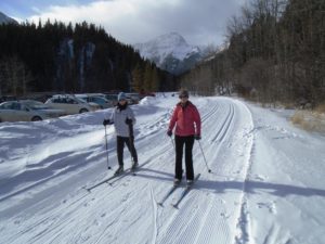
As already mentioned on the trip reports, the parking lots at Ribbon Creek and the village were overflowing. I thought for sure there would be space at the Stoney trailhead but it was full. I started a new line of vehicles down the middle, which it can easily accommodate.
The temperature was -4°c at 12:30 pm, and I don’t think it got much warmer. I waxed with VR50(0/-4) and it worked well all day. The wind has blown a few needles onto the trails but it wasn’t a problem yet.
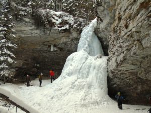
With Troll Falls trail being trackset last night, I wanted to get on it before the “carnage” took its toll. A few people had already walked in the tracks, and I caught some of them red-handed, but overall the tracks were still in pretty nice shape.
The final 300 metres to the falls is not groomed, but the snowshoers have packed it well and I had no trouble skiing it. There were lots of people and one dog milling about at the falls, and a couple guys attempting to climb it.
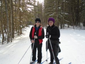
Now for some serious uphill on Ruthie’s, then more uphill on the Screamer section of Skogan Pass. At the top of the Screamer I was happy to meet one of our trip reporters, Gordon Newel(posts as GDN) and his daughter Rory, brother Ken and 80-year-old dad Larry.
I continued on Skogan Pass to the Marmot junction, turned around and rocketed back down the Screamer to Ruthie’s junction where I’m sure the skiers standing around saw the biggest grin on my face.
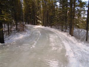
I was well aware of the ice flow(aka the “glacier”) on Lower Skogan but I went that way anyway to see how bad it was. It’s 60 metres in length and I was able to carefully skirt it with my skis on. A short distance down there is another ice flow which I was able to ski through.
With the warm weather I would expect these ice flows to get progressively worse. There’s also the one right at the trailhead at Ribbon Creek.
Next I did a loop from Ribbon Creek parking lot including Hidden, Coal Mine, New Ribbon Creek, Link, Lower Kovach, and Terrace. All lovely. I will admit that it would probably be more enjoyable going the clockwise direction.
With a low of -8 tonight, I expect these trails will still be in good shape tomorrow but I can see the meltdown is coming on Monday.
If you want colder snow, the Pipestone trails were trackset today as was Baker Creek to Castle Lookout.

That reminds me…… when skiing around today we saw new maps posted above old maps at several junctions. Not only were there some discrepancies between distances, but on the new maps it seemed that some distances were simply missing. Are there any maps which show all of the distances, accurately??
Or GordN…
I told myself in the fall “this year I’m going to meet skierbob” and promptly forgot about it.
Destiny.