Update: The floods of 2013 have completely wiped out the trail and covered it with deadfall and rocks. Only the most determined hiker could make their way by bushwhacking around the debris.
It’s a short but fairly strenuous hike up to the South Wind Hoodoos in the Wind Valley near Canmore. It’s 3.9K with an elevation gain of 260 metres, but the elevation is all on the last 1.8k
of the hike.
 A couple hikers on their way back from Wind ridge warned us of a grizzly bear near the trail about ten minutes ahead. We were turning onto the hoodoo trail before that, however, so we missed the bear. We saw lots of bear scat on the trail, and an abundance of ripe buffalo berries everywhere.
There is a sign and a bridge where you turn onto the hoodoo trail at 2.1K. At the end of the main trail you’ll reach a rock wall where a steep, narrow path leads down towards the creek.
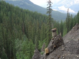
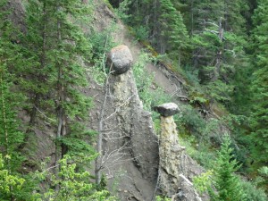
Previous to reaching the end of the trail, however, there is a viewpoint at about 3.5K where you can spot a few of the hoodoos, but the best one is at the end, where you’ll work hard for your reward.
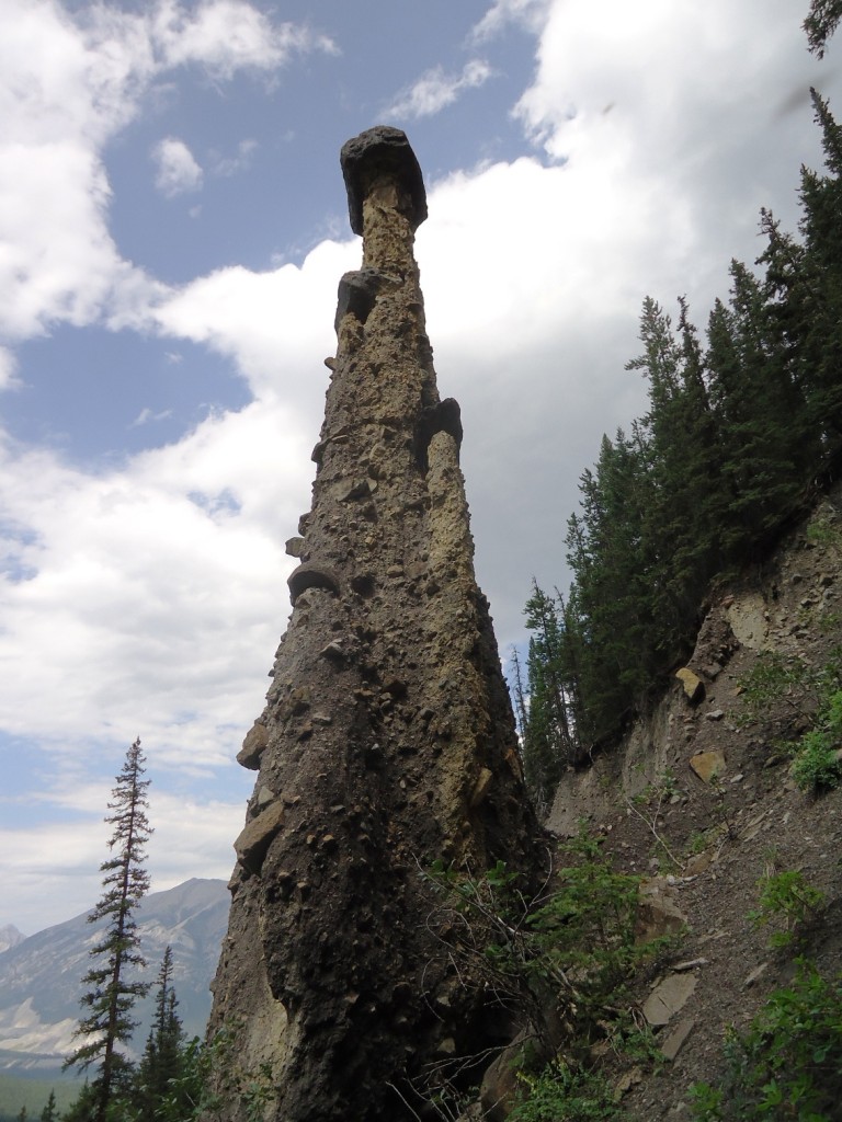
The path along the rock band disappears after a short descent and the tree-covered slope gets quite treacherous. Don’t go all the way down to the creek. When the path fades out, turn right and thread your way among the trees. In a few minutes you’ll emerge onto a steep scree slope and the hoodoos will appear before your eyes. You can see from the photos just how steep the slope is. It took some doing to find firm enough footing to put my poles down so that I could get my camera out and snap a few pictures, while still maintaing my balance.


Thanks for sharing, Bob. Those hoodoos are a cool hidden secret!