
“The new ribbon trail begins with a stump with an old man’s face carved into it.” – Pete
Thanks to Pete’s comments, we have some clarification on the status of Ribbon creek. Someone correct me if I’m wrong, but from what I can ascertain, there’s still no passable trail from the parking lot to the Link junction at 2.5K.

Ribbon Creek beyond the Link Junction. Photo from Feb 2013.
To access the trail beyond the Link junction at 2.5K, you have to cross the bridge in the parking lot, go .9K up Terrace, turn right onto Kovach, then right onto Link. You’ll come to the new bridge at the end of Link at which point you can access the re-constructed Ribbon creek trail going west.
If you turn east at the Link junction(taking the old Ribbon creek trail towards the parking lot) you will come to some near-impassable log-jams and creek crossings. Not recommended at this time.
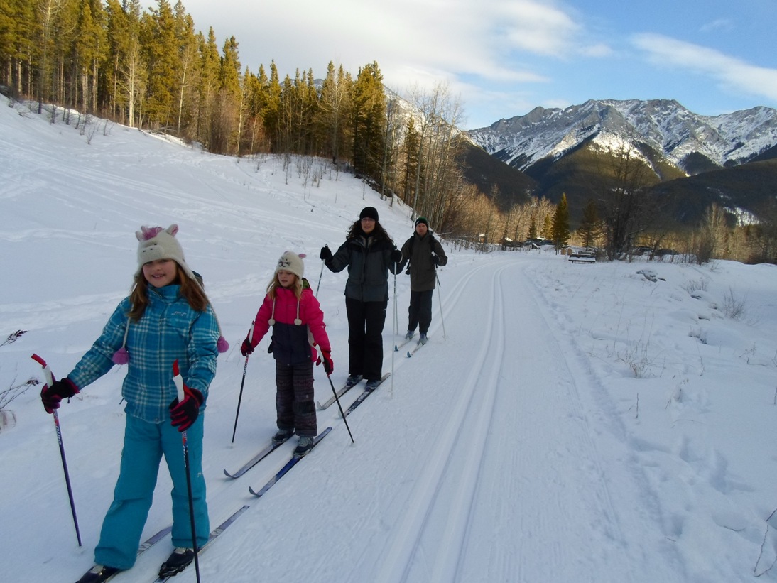
Ribbon Creek near the trailhead, pre-flood. Photo from Jan 2013. The creek now flows exactly where the trail formerly was.
More details from Pete’s comment:
“The new ribbon trail begins with a stump with an old man’s face carved into it. The original lower section of ribbon is passable but not recommended! Lots of creek crossings and route finding. It took my friend and I a while to get through that section (awe inspiring flood damage!). Its unlikely that the lower section will be fixed this summer. I believe the government has to hire contractors with large machinery to repair that section.”
If you would like to reminisce about the old days, below are a few photos from Ribbon Creek before the flood.


I wasn’t able to get out during the volunteer work a week or so back, any input from those that may have?
A ton of hard work got done by all. Now it’s time for people to get on it and pack it down!
As described in your post as of a week ago at any rate. The rebuilt trail to the west is still rough. To the east it is hard to see how it can be rebuilt in situ. Likely going to have to reroute up to the ridge trail. Not going to be the trail of choice for families with kids.
The flagging was on the right side of the creek slightly higher then the original trail. Further up one of the large bridges (maybe the one in your slideshow) was intact although covered in debris. It was still anchored to its concrete foundations except the creek had removed the trail leading up to it.Time will tell where the trail goes I guess!
Some sections of the original lower trail were left amazingly untouched by the flood. Others don’t exist or are badly damaged. Hopefully during rebuilding they will be able to reuse the good bits for the new trail!
I’m wondering if avoiding future washouts from flooding will be a consideration when rebuilding the lower trail(the first 2.5K)? If so, they may choose to build it on higher ground and the old sections which are still intact may not be incorporated into it.
I did notice flagging along the way. Not sure if the flagging was to mark a new route though. It would be logical to place the trail much higher up to avoid problems in the future. There are remnants of very old logging roads along the way which we used for detours while hiking. These were un-damaged and may provide alternate routes also.
Is the flagging all at higher elevations? When Pocaterra was rebuilt, it was re-routed to stay well above the creek. Same thing may occur with Ribbon Creek. I’d be surprised if they rebuilt it where it could be destroyed again.