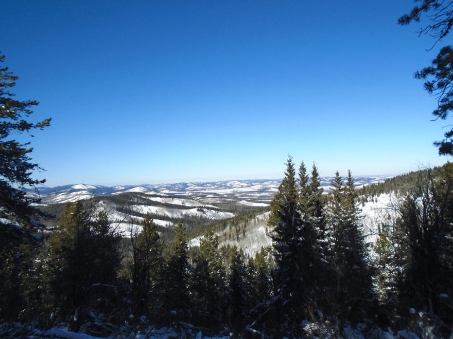
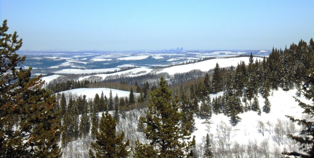
You can see Calgary from the Pine Ridge viewpoint at Sandy McNabb.
My old Sandy McNabb brochure from 20 years ago describes the Pine Ridge trail like this…
Offering the most challenging and exciting terrain in the Sandy McNabb trail network this route has short difficult sections. Calgary is visible from an excellent summit viewpoint.
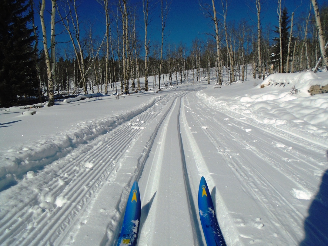
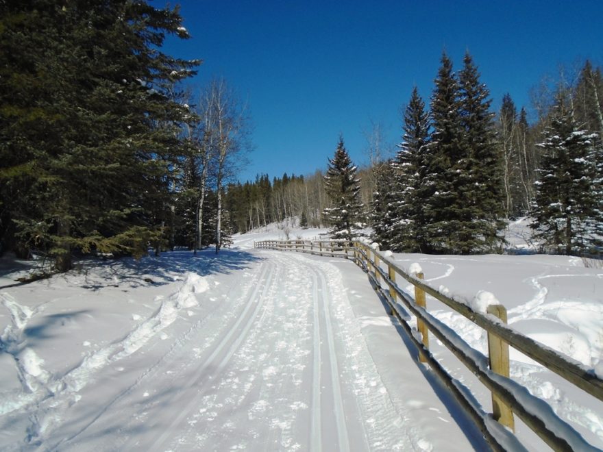
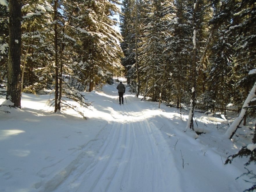
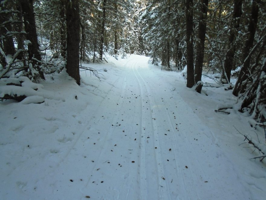
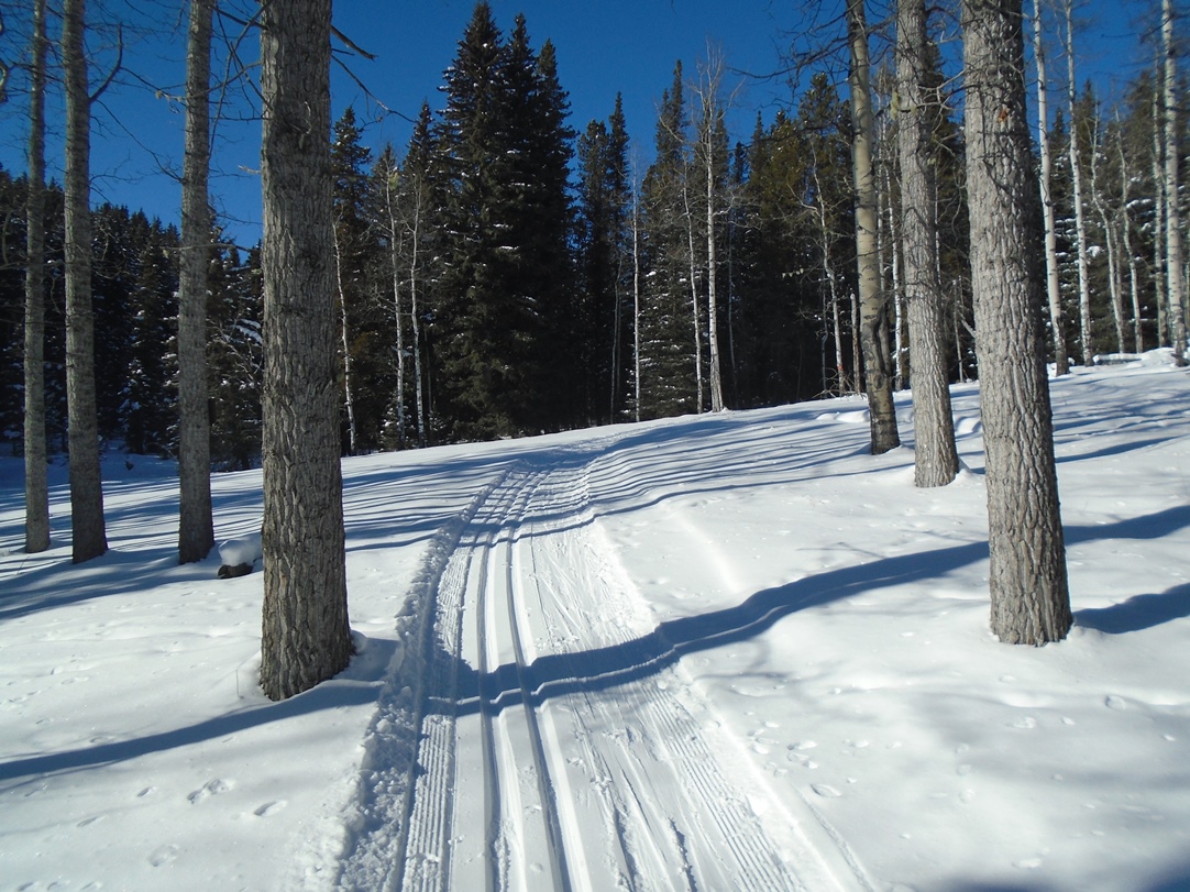
Starting up the east leg of Pine Ridge. This section of trail was previously known as Whitetail.
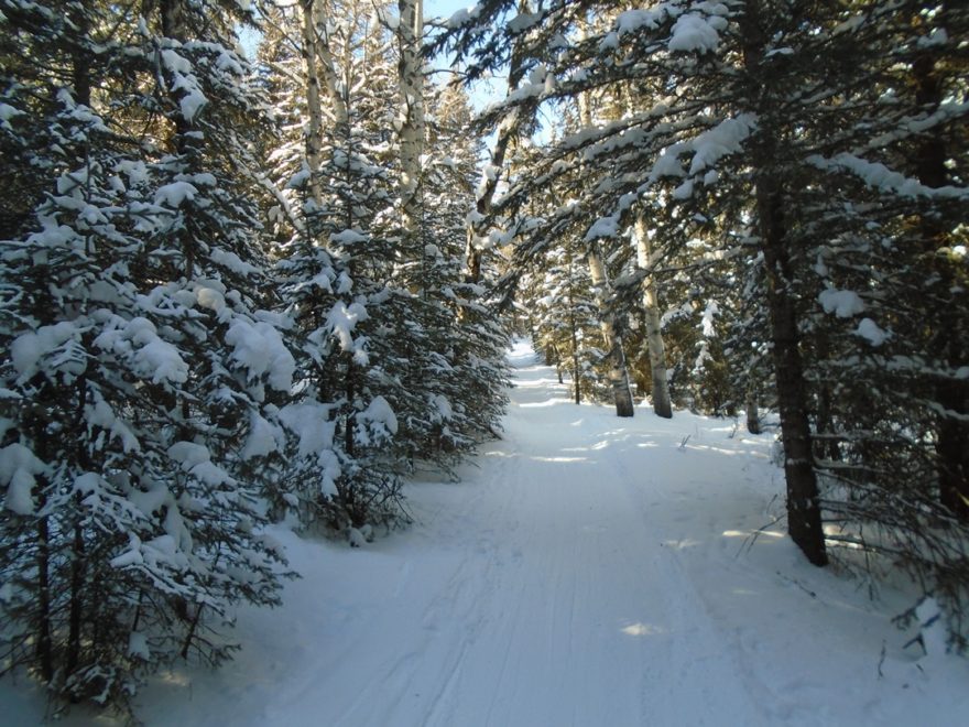
You need excellent conditions when doing the north end hills at Sandy McNabb. I forgot just how narrow, steep and winding the final K of Pine Ridge is. With lots of trees close by.
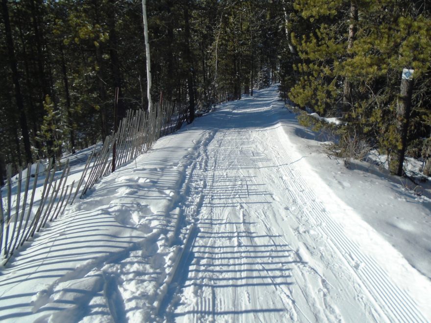
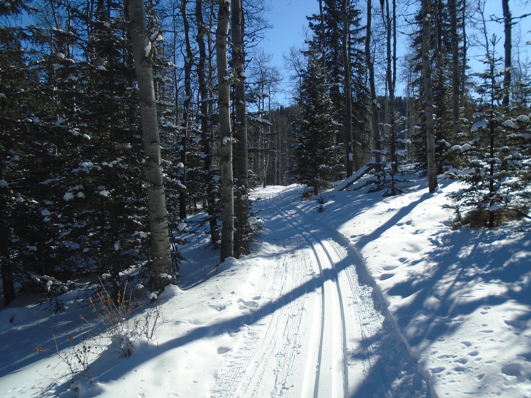
I must have been a better skier 15 years ago because I don’t remember being this apprehensive of the downhills when descending from the viewpoint at the northern tip of Pine Ridge.

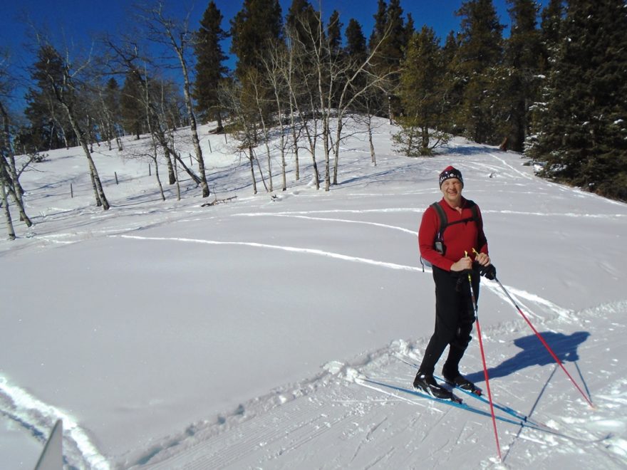
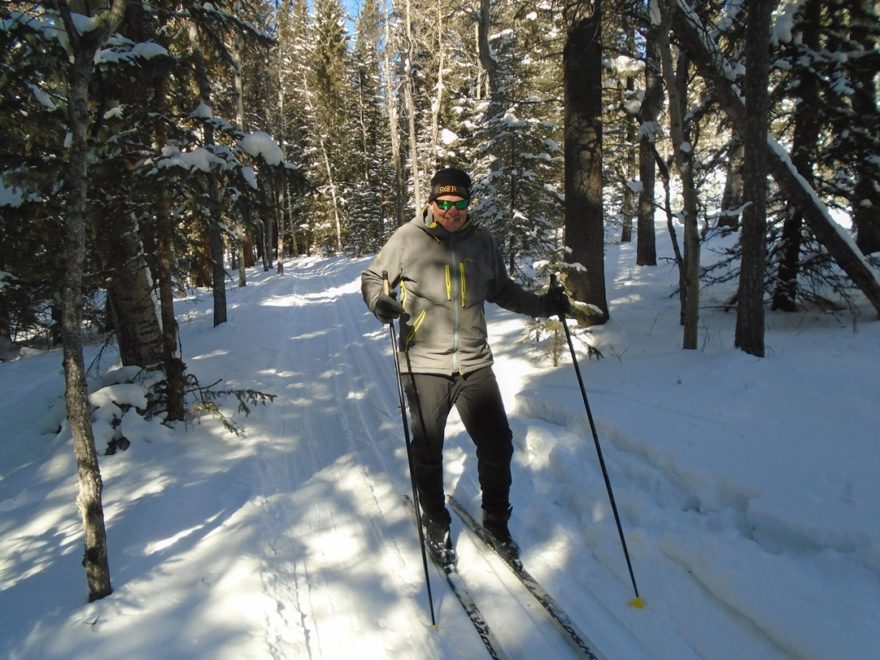
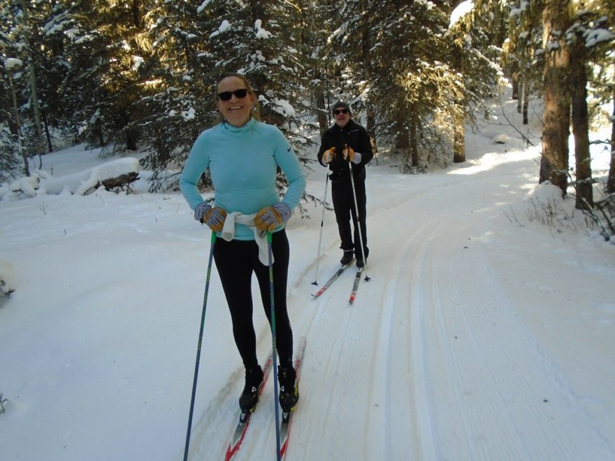
Judy and Jim on Pine Ridge.
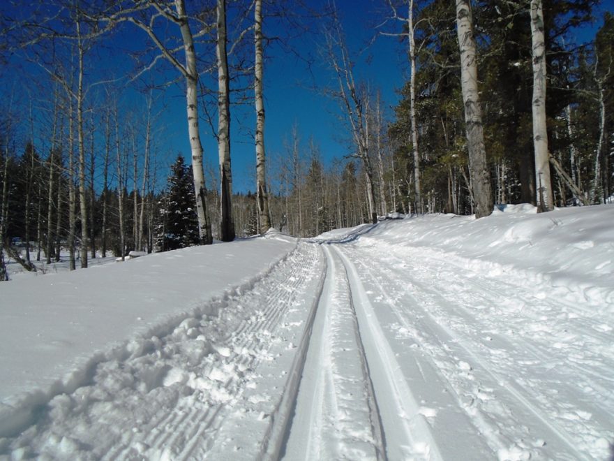
Luckily I went counter-clockwise and climbed the gnarliest sections but it’s a thrill ride going down either side. There’s an east leg and a west leg to the Pine Ridge Loop.
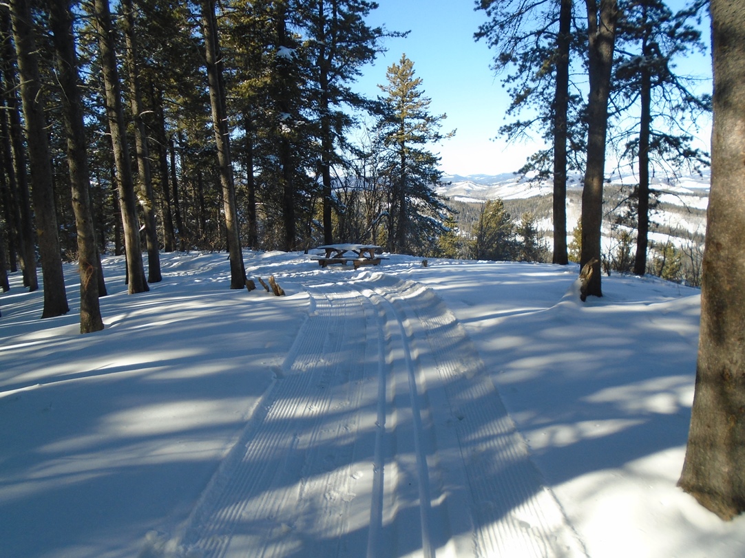
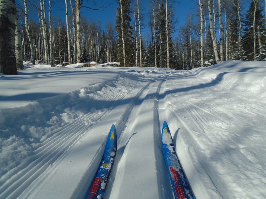
Approaching the top of the Pine Ridge loop
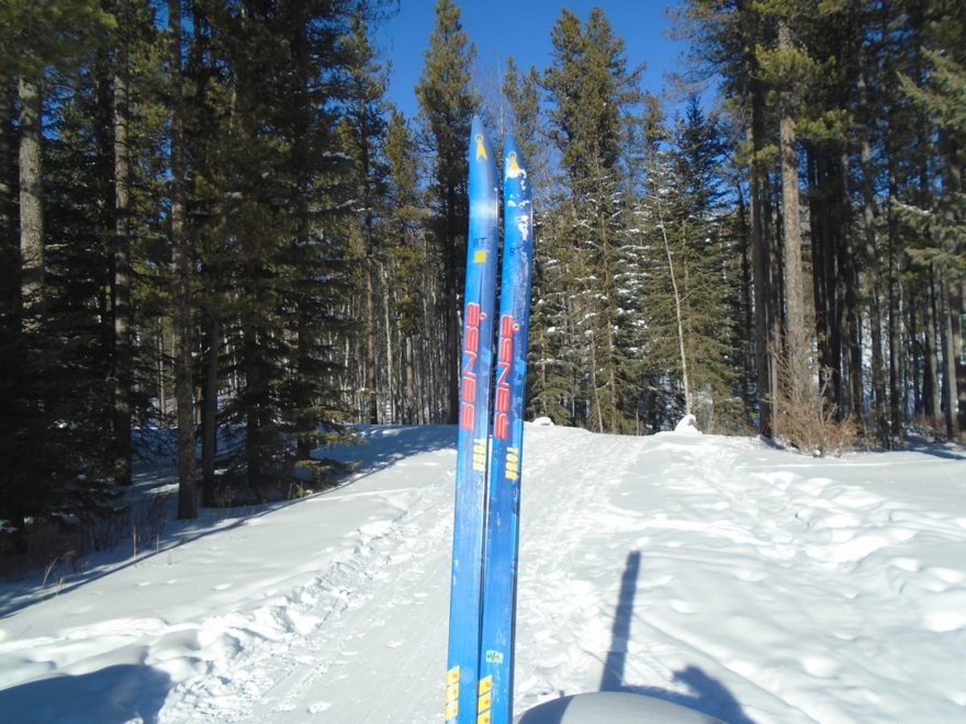
I must have had some deeply embedded latent memory because I fortuitously took my old Asnes skis today and was glad that I used them. They are skis I’ve had since the first year I skied back in 97-98. They are shorter, wider, flatter, with sidecut, and much easier to control. I wouldn’t use them in a race because they are slow, but that’s what I needed today.
Macabee
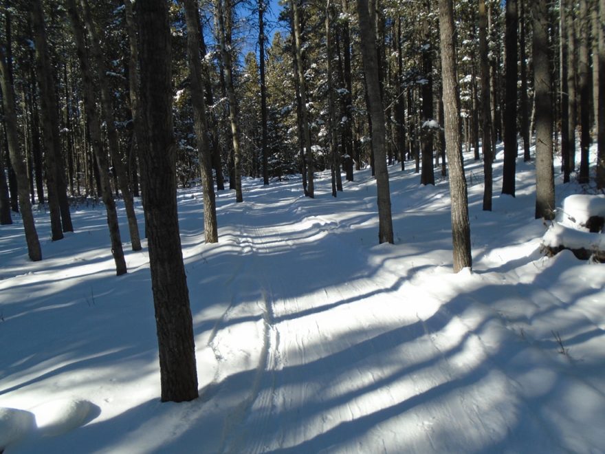
The snow and trail conditions on Pine Ridge were excellent. The Macabee loop has excellent snow but it has quite a few spruce cones scattered about. There are three tree roots sticking up but easily avoided.
It was a pleasure to meet Judy and Jim on Pine Ridge. You can read Judy’s assesment of the conditions on the Trip Reports.
Macabee
I also enjoyed seeing Ross who is the other half of the Sheila and Ross duo who report regularly from Sandy McNabb.
The sun was shining and I was skiing in my shirt sleeves while climbing. The air and snow temperature were both at -10°C when I started out around 1:30 pm. At 4 pm it had warmed up to -8. I used VR40(-4/-12) which worked perfectly.
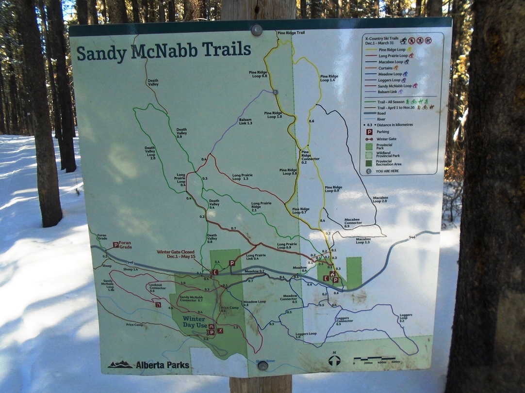
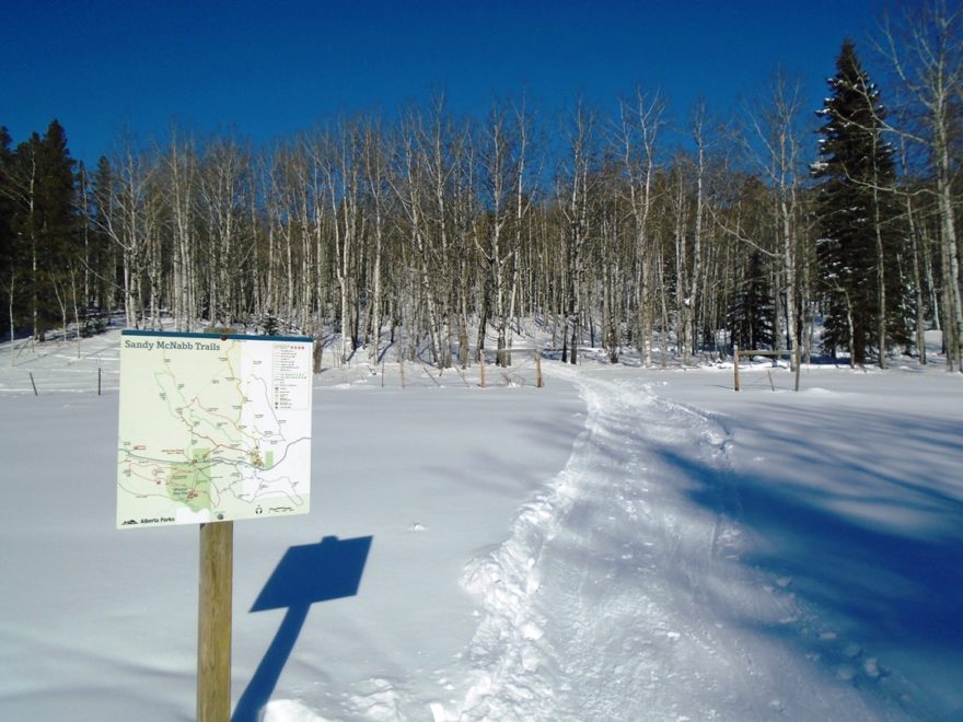
Trail map
My GPS indicated a net elevation gain of 220 metres over a distance of 4.1K on the shortest route to the viewpoint.
The viewpoint where you can see Calgary is not at the picnic table. It’s a further 200 metres to the west.
The trail names have been changed somewhat since I skied at Sandy McNabb years ago. There’s no longer a Wolftree, Whitetail, Arctic Hill, Sink Hole, Alder, or Wide Open. They have been incorporated into other trails.
Sandy McNabb Mar 4, 2019