After such an amazing and beautiful day yesterday, I was battling the wind today, just like I’m hearing on some of the trip reports from “back home.” No sunshine or blue skies.
When the warm air blows in, I’m appreciative of “no sunshine.” It reached +2 in Cypress Hills, but the snow condition didn’t deteriorate. I was able to use my waxable skis with VR50(0/-4), upgrading later in the day to VR55.
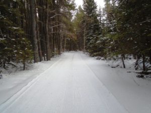
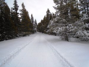
The trails in the trees were starting to collect needles and the odd bottle brush. Interesting, unlike back home, no spruce cones had blown onto the trails.
I thought I had a good photo of blowing snow, but Chuck has a photo from Cascade Valley that’s indicative of just how harsh the wind was today.
Despite the wind, there were more freshly groomed trails to check out: Spruce Coulee, Ridgetop, and Horseshoe Canyon. The name “Ridgetop” might give one pause on a windy day!
Horseshoe Canyon
I started out on Horseshoe Canyon at 1:30 pm, just as Tracksetter Darwyn had finished grooming it for the first time this winter. It was too soft. I only went about 900 metres and turned around, but I got a taste of just how steep it was. Ferguson Hill seemed tame compared to this monster.
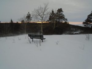
For anyone thinking about skiing here, I’d suggest climbing Horseshoe Canyon and descending on Ferguson Hill. The two are connected at the top by a short ski on Murray Hill road. The trailheads are within 75 metres of each other at the bottom. There is an amazing viewpoint at the top of Horseshoe Canyon. I’ve been there in the summer.
Spruce Coulee and Ridgetop
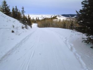
More my style were Spruce Coulee and Ridgetop. I only had to ski 3.6K with an elevation gain of 200 metres to reach the ridge and that was all I did today. As I alluded too earlier, Ridgetop is very exposed and I was met with gale force winds at the top.
It was an appetizer, however, because there is still over 6K along the ridge to explore on another day. If I’m calculating corrctly, there should be very little elevation gain or loss on this 6k along the ridge.
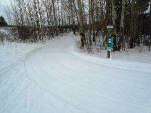
Spruce Coulee is a lovely trail with rolling hills which are fun and easily managed but you are constanly gaining elevation. I saw deer on two occasions on this trail. They bolted before I could get a good photo.
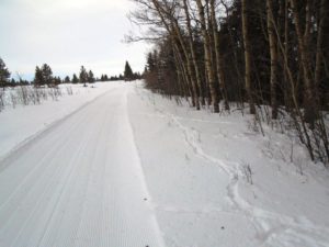
 Spruce Coulee and Ridgetop are groomed but not trackset. There were a couple ultra-thin spots on the first 300 metres of Ridgetop which are easy to navigate while climbing, but I removed my skis for one of them on the way down.
There appears to be significant snow in the forecast for Friday and Saturday in the mountains. Certainly looks like it will be enough to cover the tree debris from these strong winds we are presently experiencing.
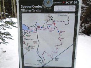
Take a look at the map “Spruce Coulee Winter Trails.” Does anyone know what the numbers are for? The ones I’m referring to are not the distances, but the 1, 5, 10, 15, 25 and 30.
******
The Banff trail report indicates that Goat Creek and Brewster Creek were packed today. Brewster Creek tends to be a pretty rough trail in the early season.



Based on the Hill Pain calculation, Fergason comes in at an aerobic overload of 154! Horseshoe at 100. However, looking a little closer reveals that Horseshoe is much pitchier over its distance than Fergason which is only really super tough in the beginning. I’ve preferred racing up Horseshoe to racing up Fergason, but regardless I can’t wait to try both of them on skis! If only the snow were a bit more consistent. You’ve lucked out Bob!
Interesting to learn about ski venues away from the familiar local areas. We did a couple of summer family camping trips to Cypress Hills when our kids were young. They liked the beach, and I enjoyed some good mountain biking.
About that sign- the progression of numbers had me wondering where “20” was, until I noticed that the map is labelled “SCW(Spruce Coulee Winter?) 20”, located at the star on the map. So my guess is that the other numbers mark the locations of similar map. Do I win anything 😉
No idea about why 1-5-10… instead of 1-2-3….
Steve, thanks for taking a crack at figuring out this mystery. I can always count on you to come up with a creative answer, too bad it’s incorrect!