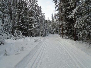
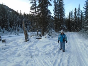
Yesterday, the Banff trail report indicated that Spray river east and west had been groomed and trackset, so I headed there today.
This loop gets well-used by skiers, snowshoers, and walkers, so I was hoping that it would still be in nice shape so soon after tracksetting.
I am normally coming from Goat creek when I do either of these trails, so going the opposite direction on Spray river west was quite novel. It was as good as could be expected. The tracks on the west side had already been “widened” by heavy use while they were still soft yesterday, but were enjoyable nonetheless.
The east side which only sees about one-tenth the traffic, had good firm tracks and the snowshoers had done a commendable job by staying in the middle. Conditions were about as good as I have ever seen them.
Spray river west has a lot of small hills and is a lot of fun. The highest hill might take two minutes to climb. You get occasional scenic views as you follow the river.
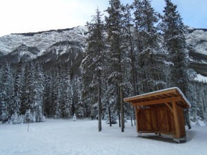
The east side is a lot flatter, but there is one sustained gentle downhill that’s nice. It opens up a few times and offers some spectacular views of the surrounding mountains. Today I didn’t go down to the golf course, but If you take the east side all the way back to the Banff Springs Hotel, the final 200 metres is fast, steep and usually has a few rocks to avoid.
The air temperature at 2:30 pm was -7°C, and the snow was -10. I used the same wax as yesterday(Start -7/-12) and while it gripped well enough, I should have added a layer because the snow yesterday was quite abrasive, and I didn’t have much left. You’re quite well-protected from wind in the Spray valley. It was howling while driving to the trailhead, but the air was calm while skiing.
Connecting east and west
If you’re doing the loop, starting at Spray river west trailhead, then returning on Spray river east, do you know how to get back over to the west side? It took me a long time to figure it out.
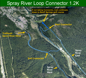
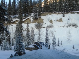
When returning on the east side, as you start down the hill to the golf course, you’ll see a trail marker on your left. A connector trail which is 1.2K will take you across the river and back up to the west side, if you know exactly where you’re going. It’s easy to take a wrong turn, so follow the signs.
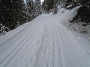
In most years, the connector trail is usually not in very good shape for skiing. Today it was probably the best I’ve ever seen it, and that’s not saying much. It gets lots of foot traffic, and gets beat up pretty good. It doesn’t get groomed but the snow cover is good. All previous times I’ve taken it, I’ve always had to dodge rocks and dirt, but not today.
You’ll start out on a nice skier-set track for about 100 metres, then it drops precipitously on a narrow, winding trail. I walked down. At the bottom, a hairpin turn will take you along the Spray river for about 600 metres, then crosses the river on a bridge. You finally emerge from the valley with a steep uphill onto the Spray west trail with 700 metres to go to the trailhead.
The Spray river loop, including the connector, is 12.7K.
The forecast is calling for snow on Wednesday.


